The Mysterious Wall on Millstone Hill
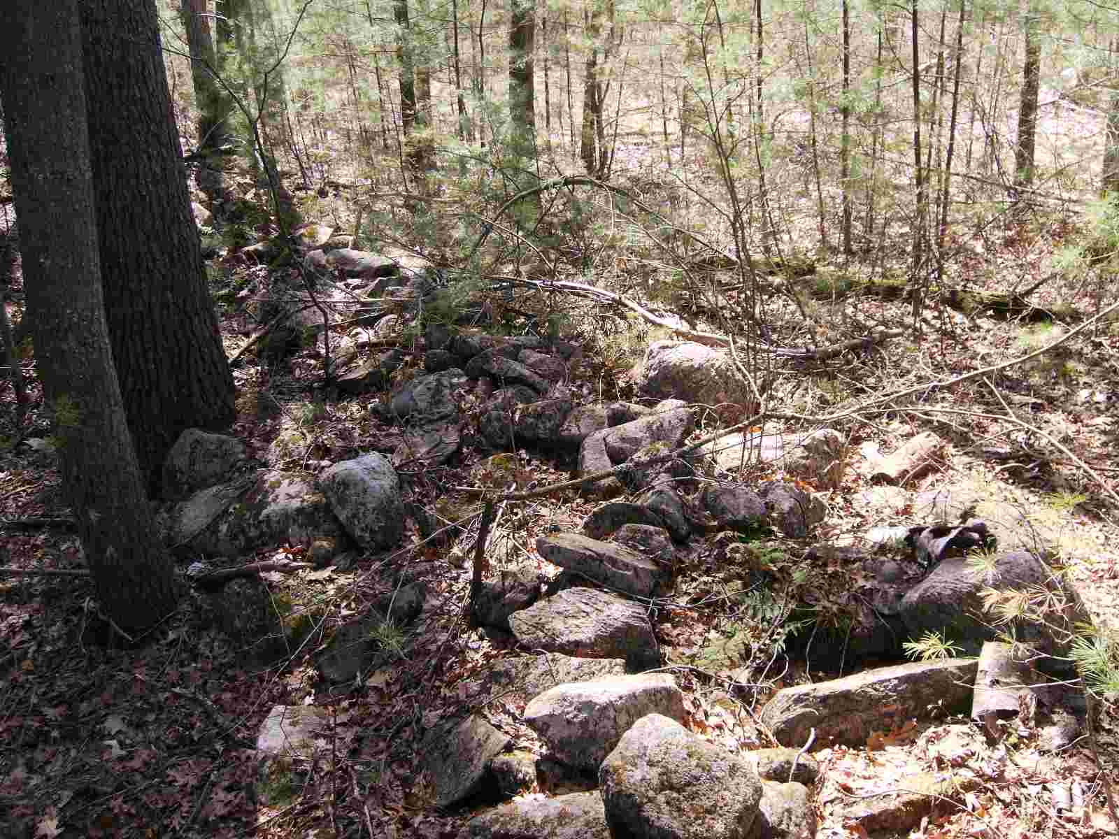
While searching the southeast side of Millstone Hill for Native American artifacts, I came upon an unusual stone wall. It formed a triangle. On the outside, I found cairns and rock piles, but inside, I found very few stones. The wall was unusually well built. Whereas most stone walls are one rock thick and about one-and-a-half to two feet high, this wall was over three feet tall and four to five feet wide. The stones were carefully fitted to make it very strong. The odd shape of the wall ruled out a boundary line. Furthermore, the land has only had two owners in recorded history, the Wright family and the Massachusetts Institute of Technology. There was never a house or barn near this enclosure. If this wall was made by settlers, the most likely purpose was an enclosure for animals, such as cows or oxen. The lowest end of the walled area ends in Snake Meadow Brook, where animals could get water. Below is a map of the wall. It was not drawn to scale. The brush is thick and nasty; it is hard to estimate distance, but I would guess that the overall length is between five hundred and one thousand feet. It must have been a monumental task to make this wall. I can only wonder why it was made. (Note that I heavily compressed the photos and that causes color anomalies.)
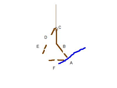
When I started taking the pictures, I entered between E and F on the map and proceeded to point B. I proceeded southeasterly along the wall and took photos.
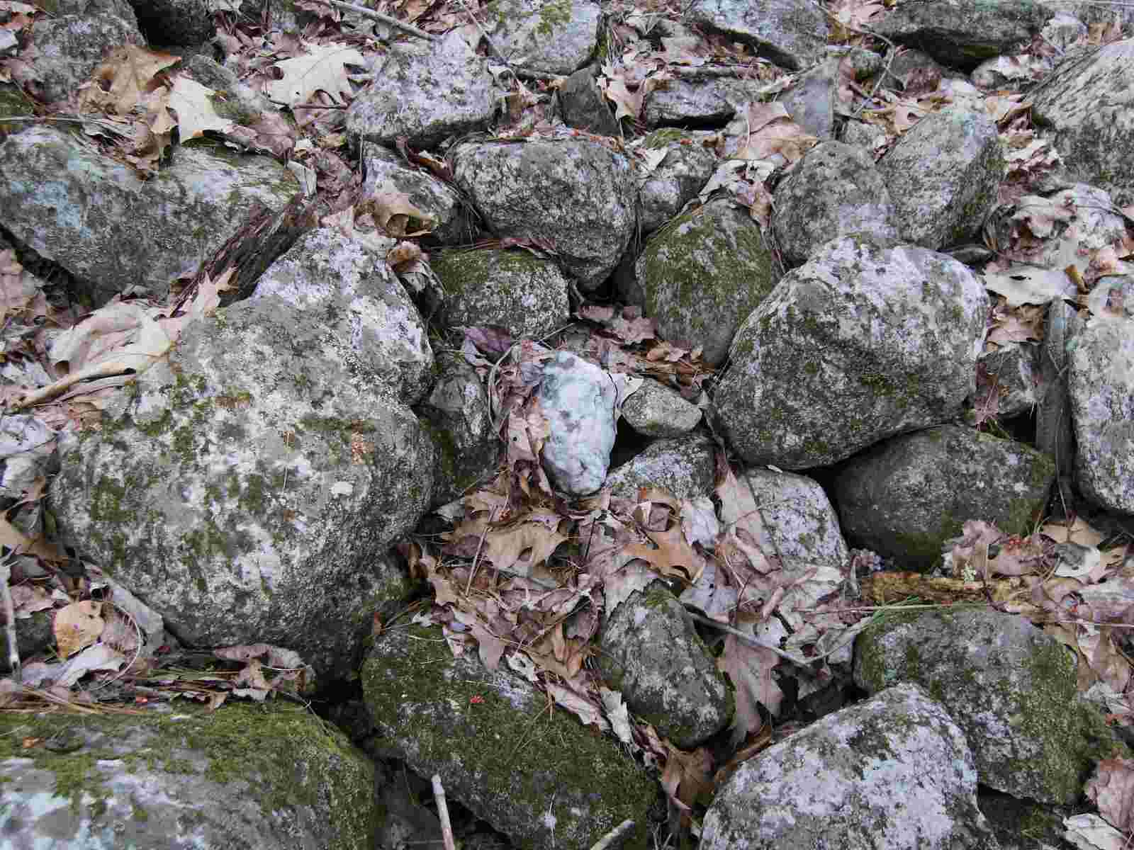
I found a place where the wall was damaged and where I could climb onto the top. I noticed a piece of quartz.
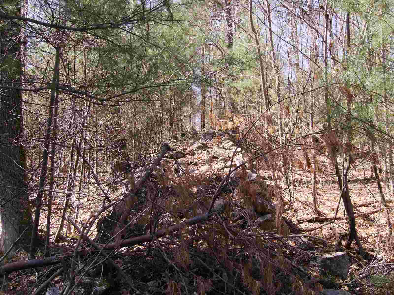
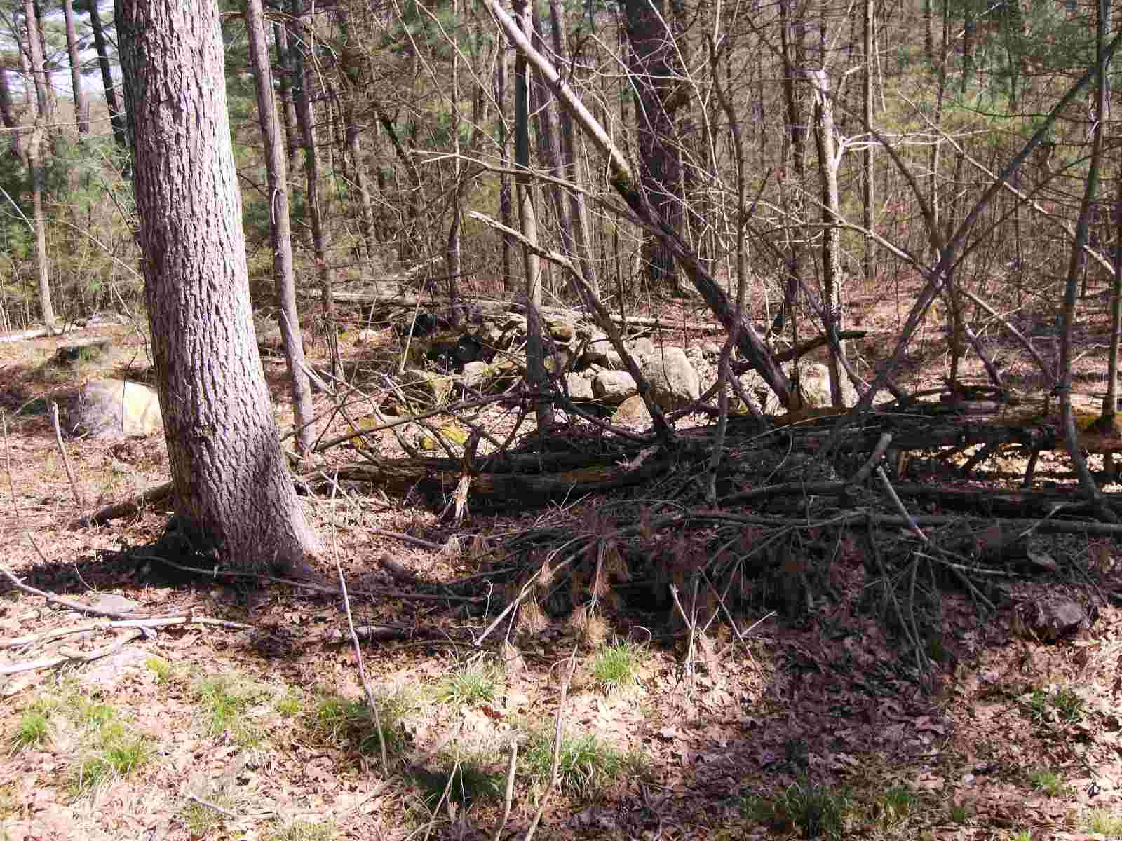
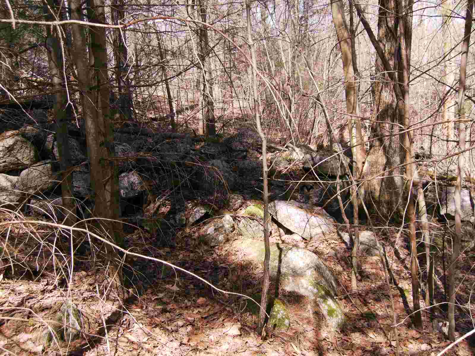
After I climbed upon the wall, I aimed the camera to the southeast and took a photo.
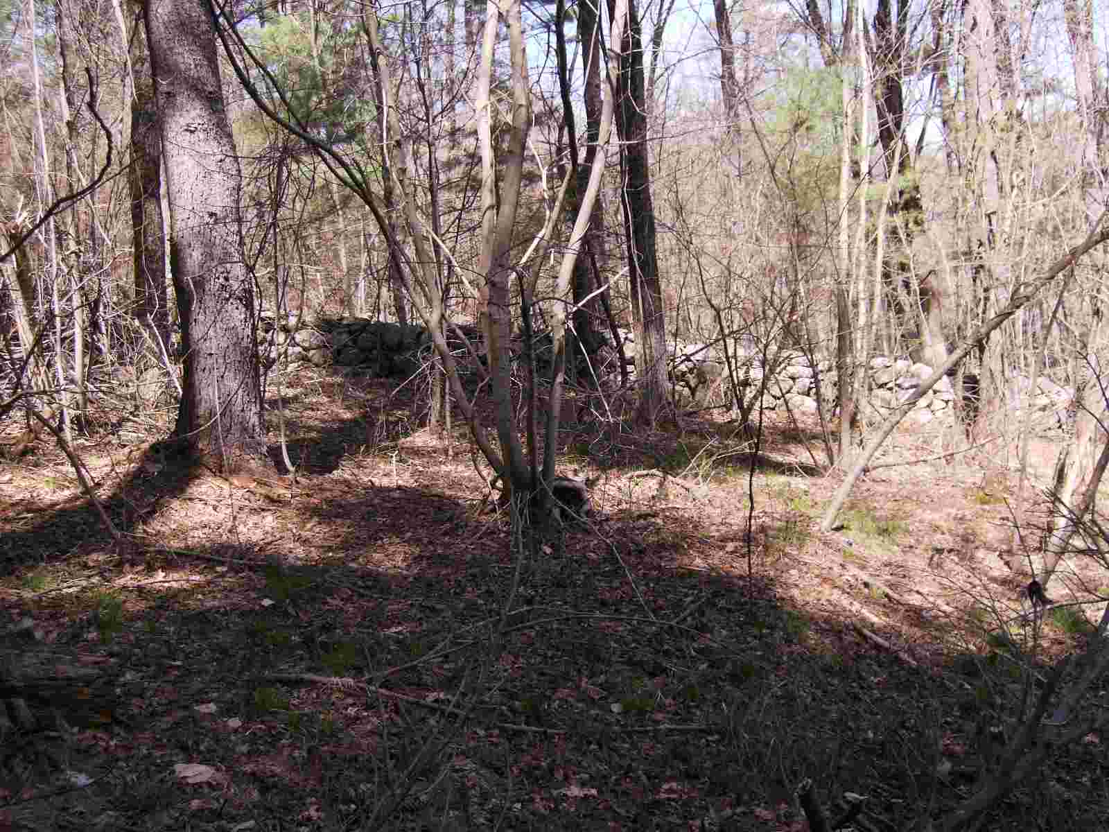
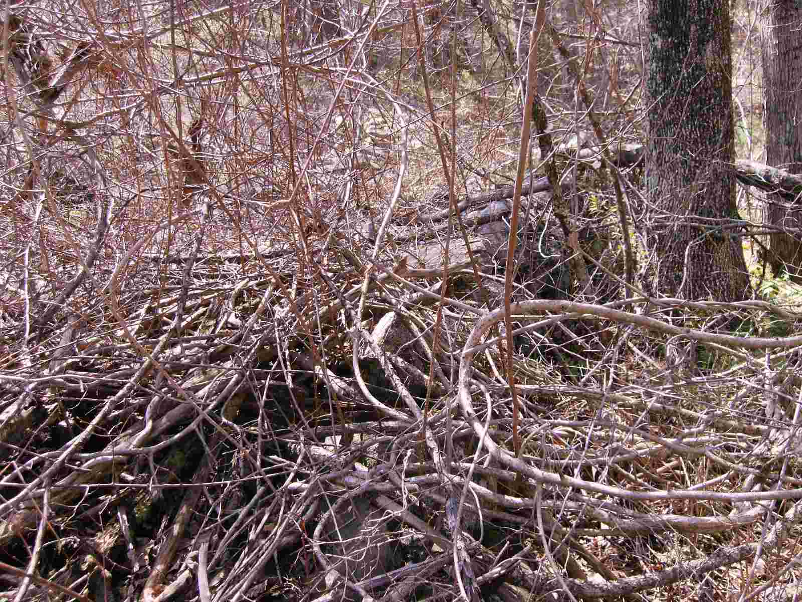
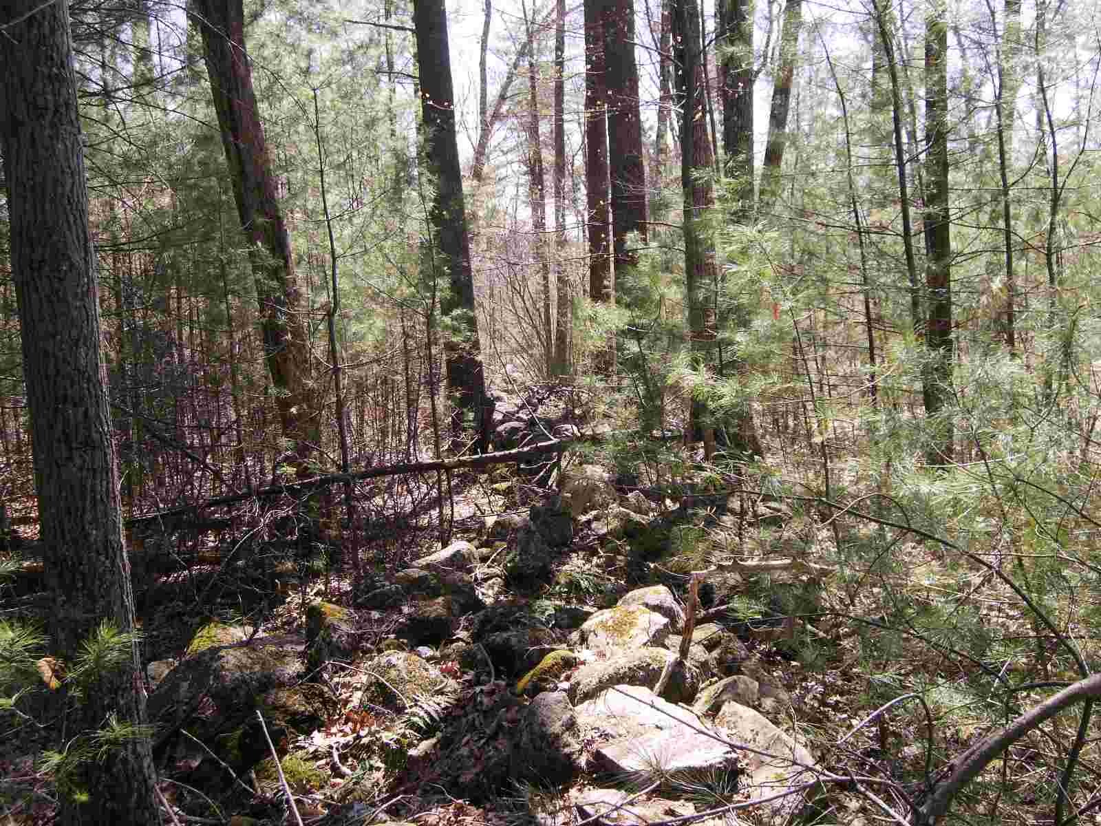
Then, I pointed the camera northwest and took another photo. The thickness of the brush can be seen in this photo.
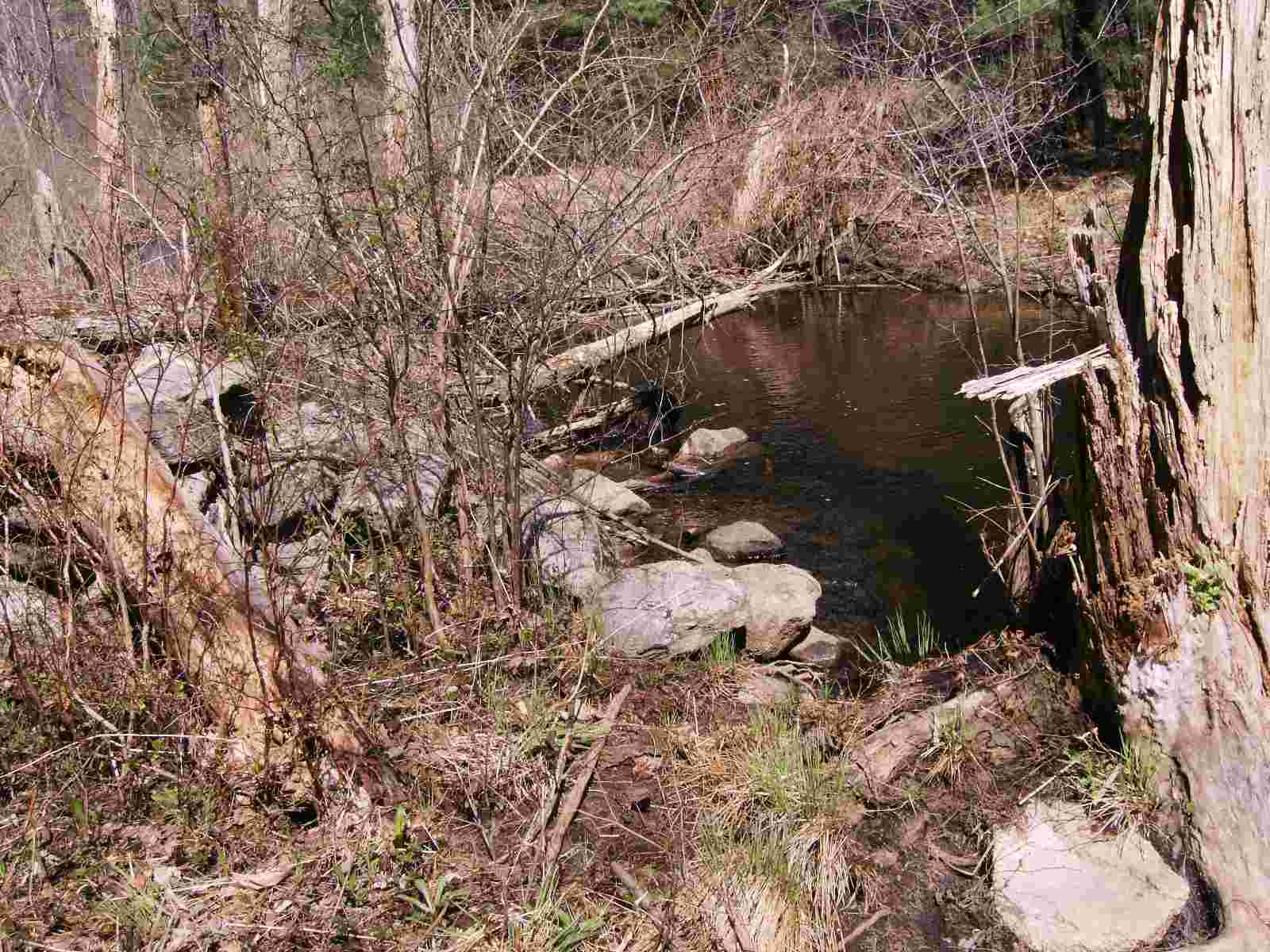
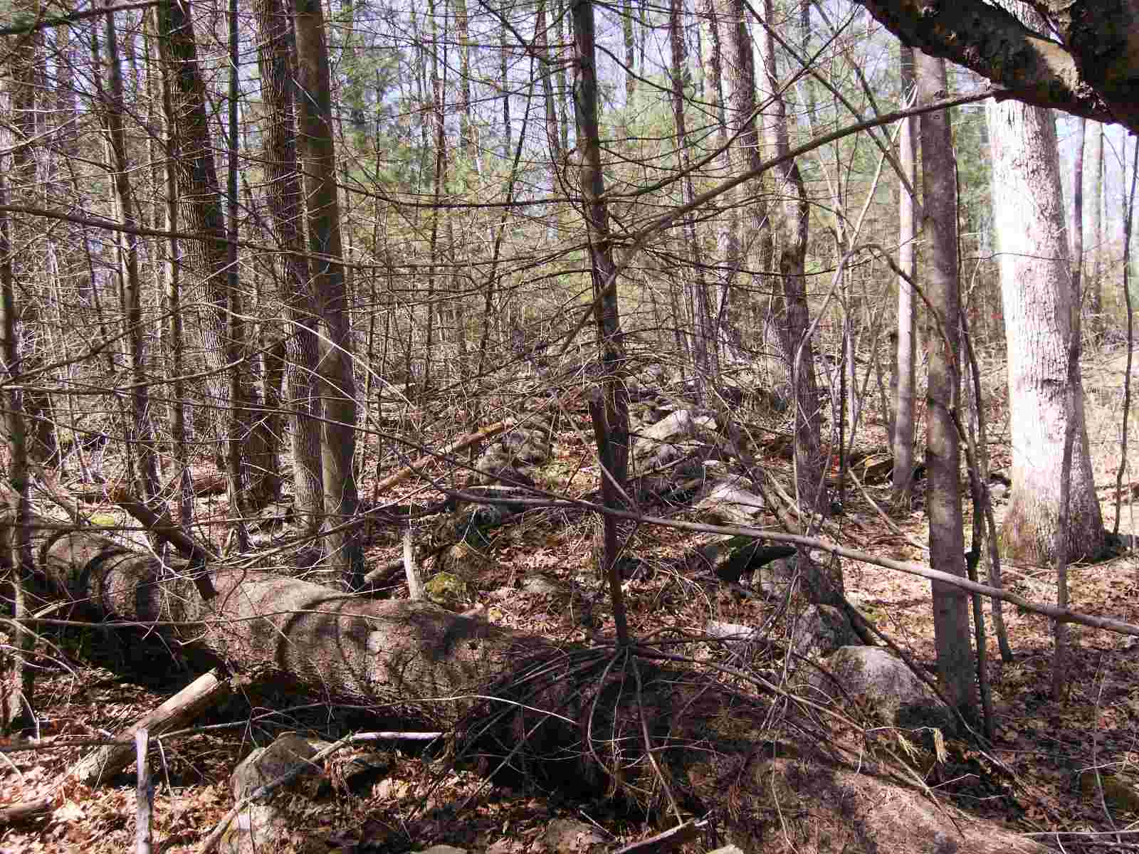
I finally reached point A on the map. Snake Meadow Brook is at the end of this leg.
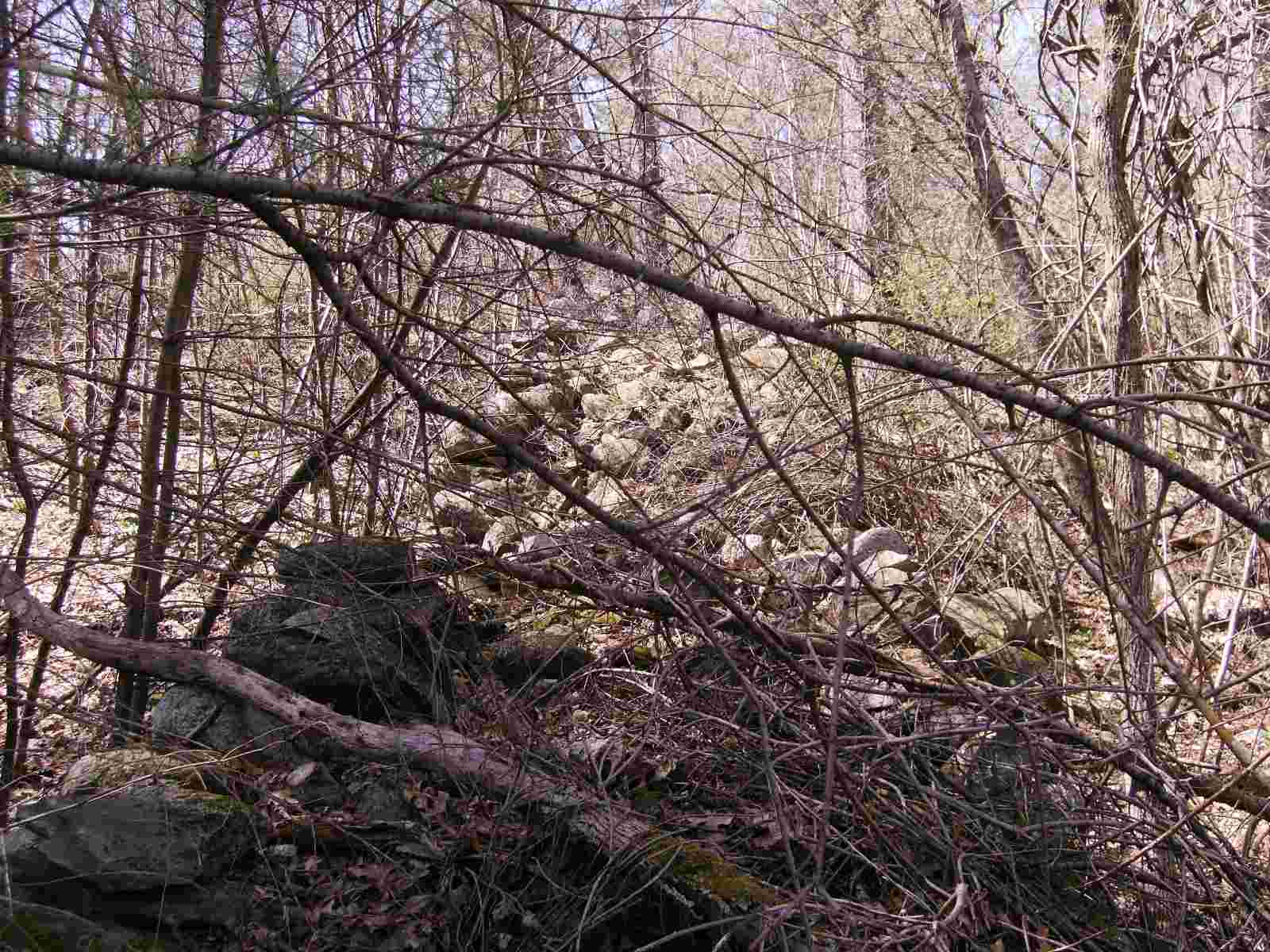
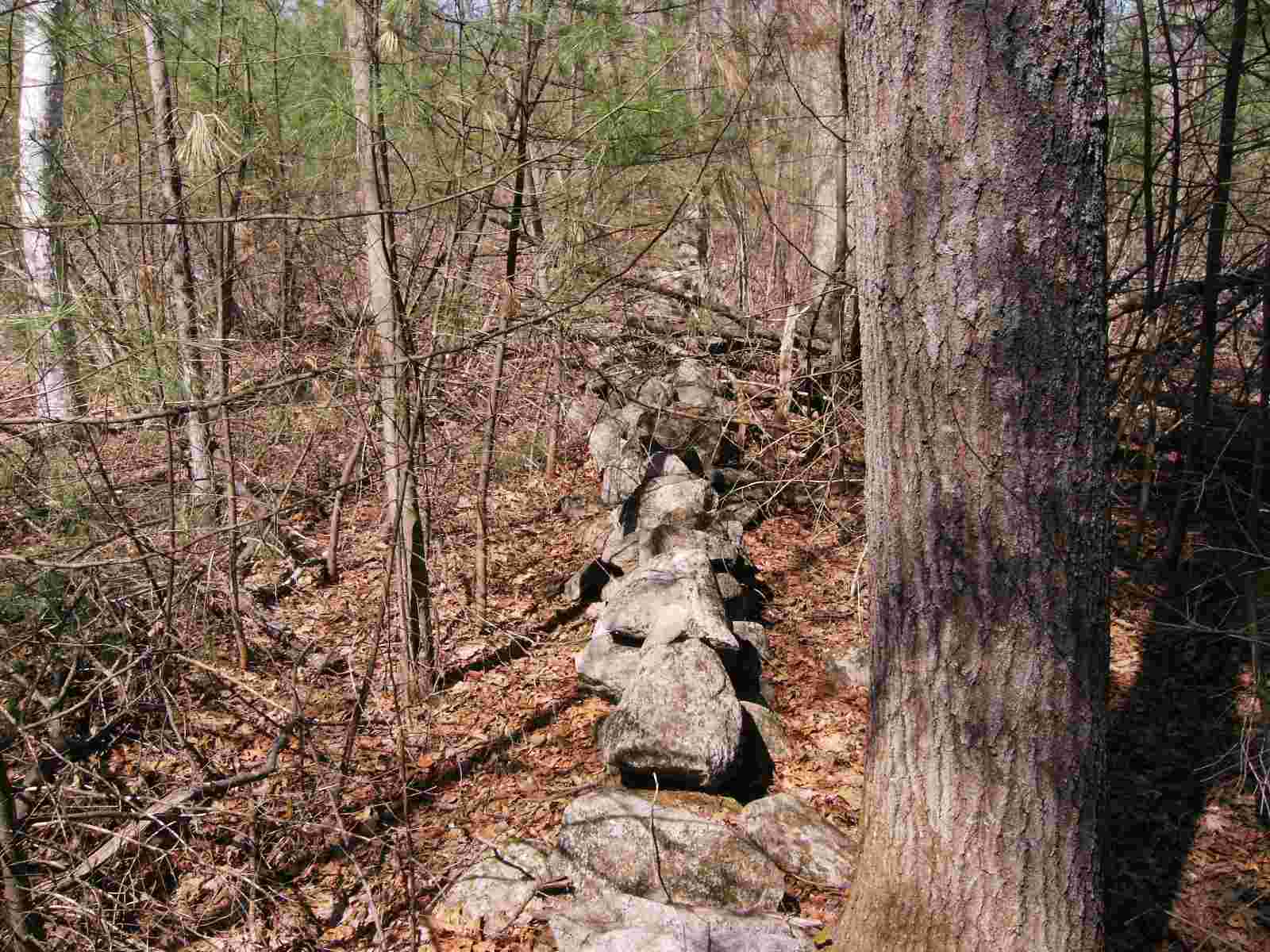
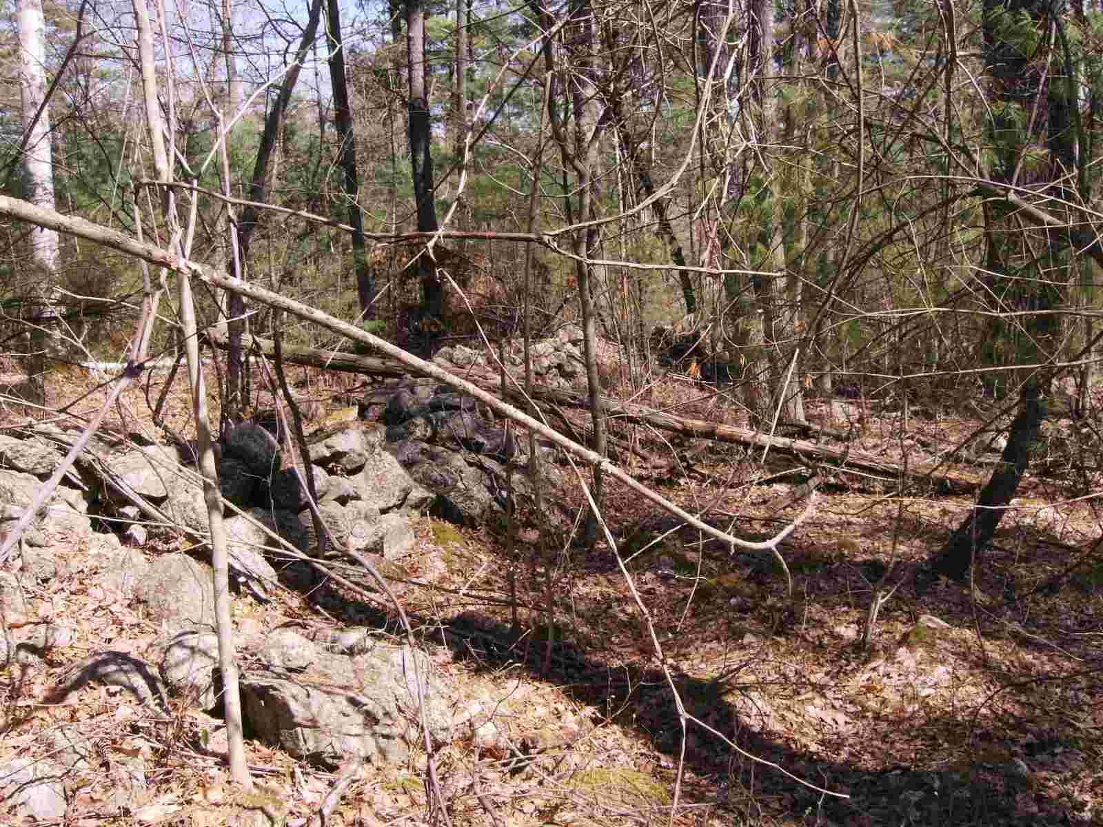
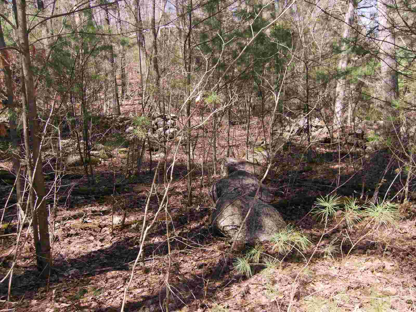
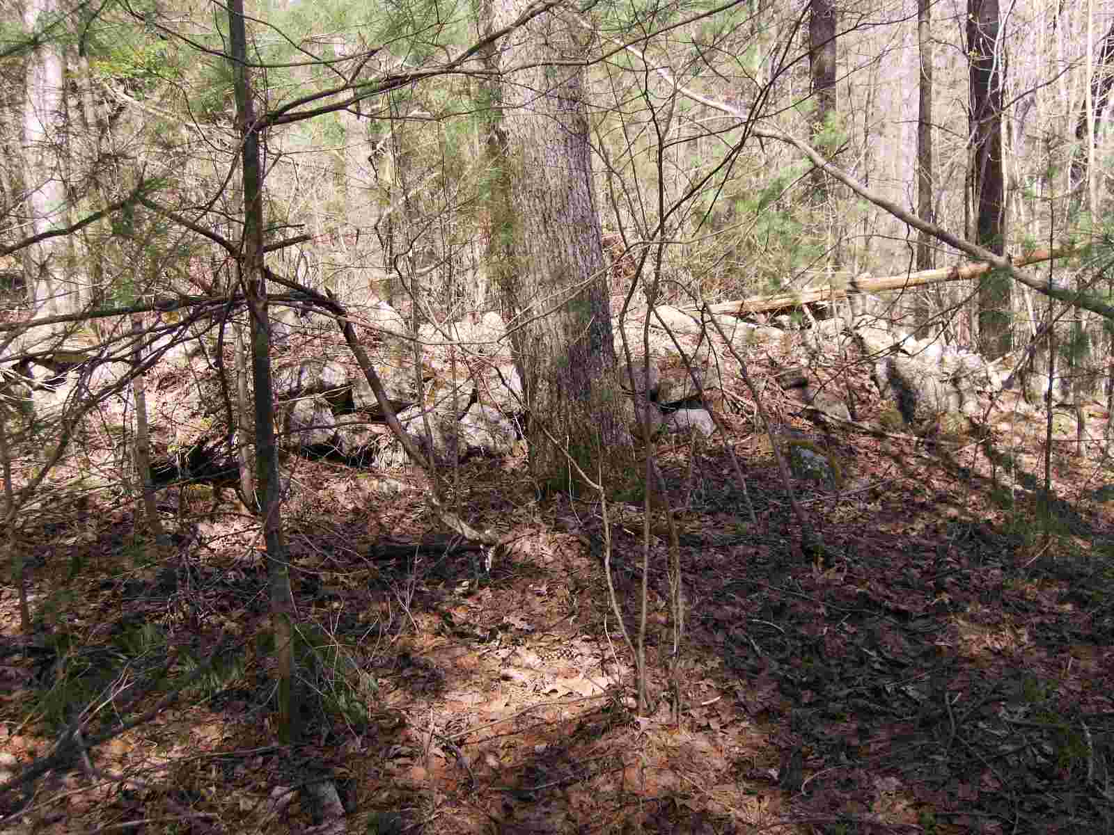
The wall takes a westerly direction. The brush is very thick.
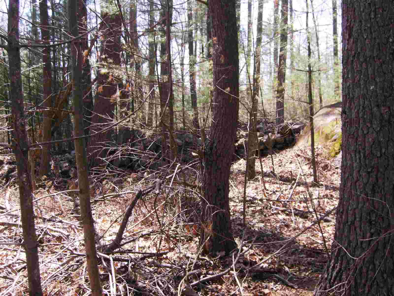
This is taken from point F looking easterly.
At point F, there is a gap in the wall. This is looking westerly.

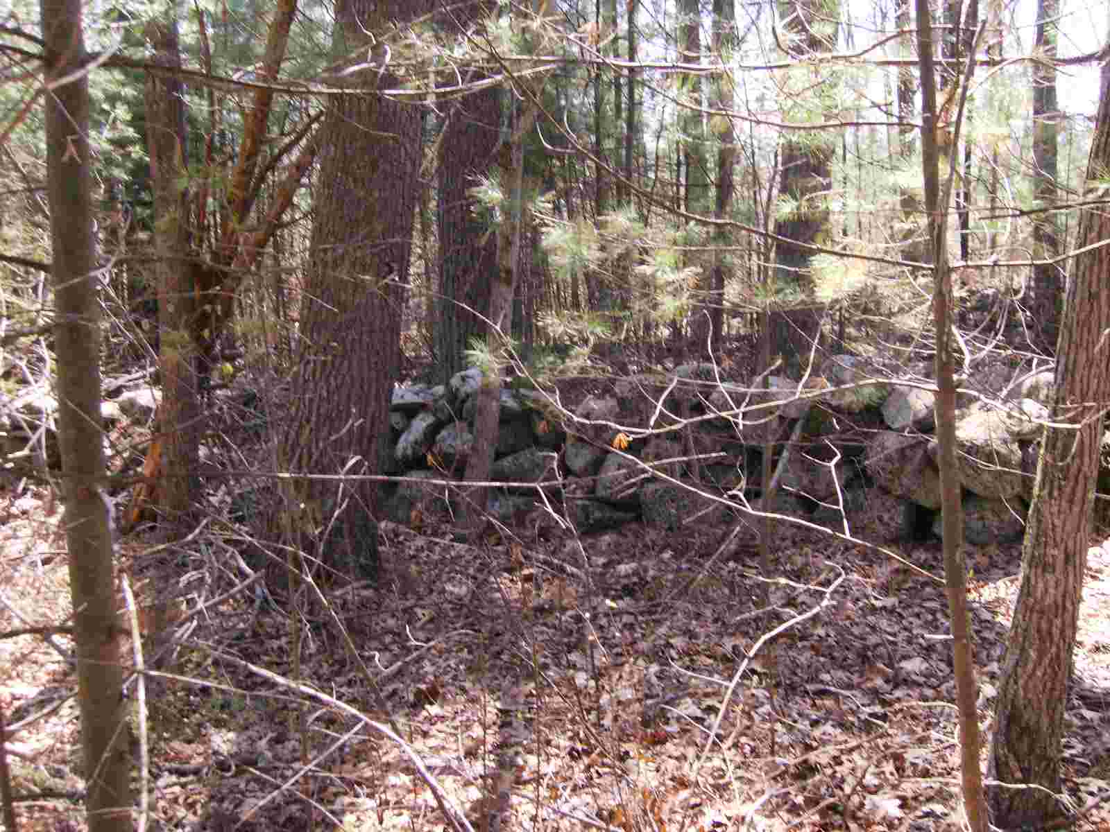
This is from point F looking northerly. The apex of the triangle, point A is to the right and the other leg can be seen in the distance.
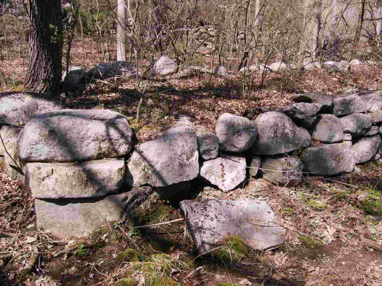
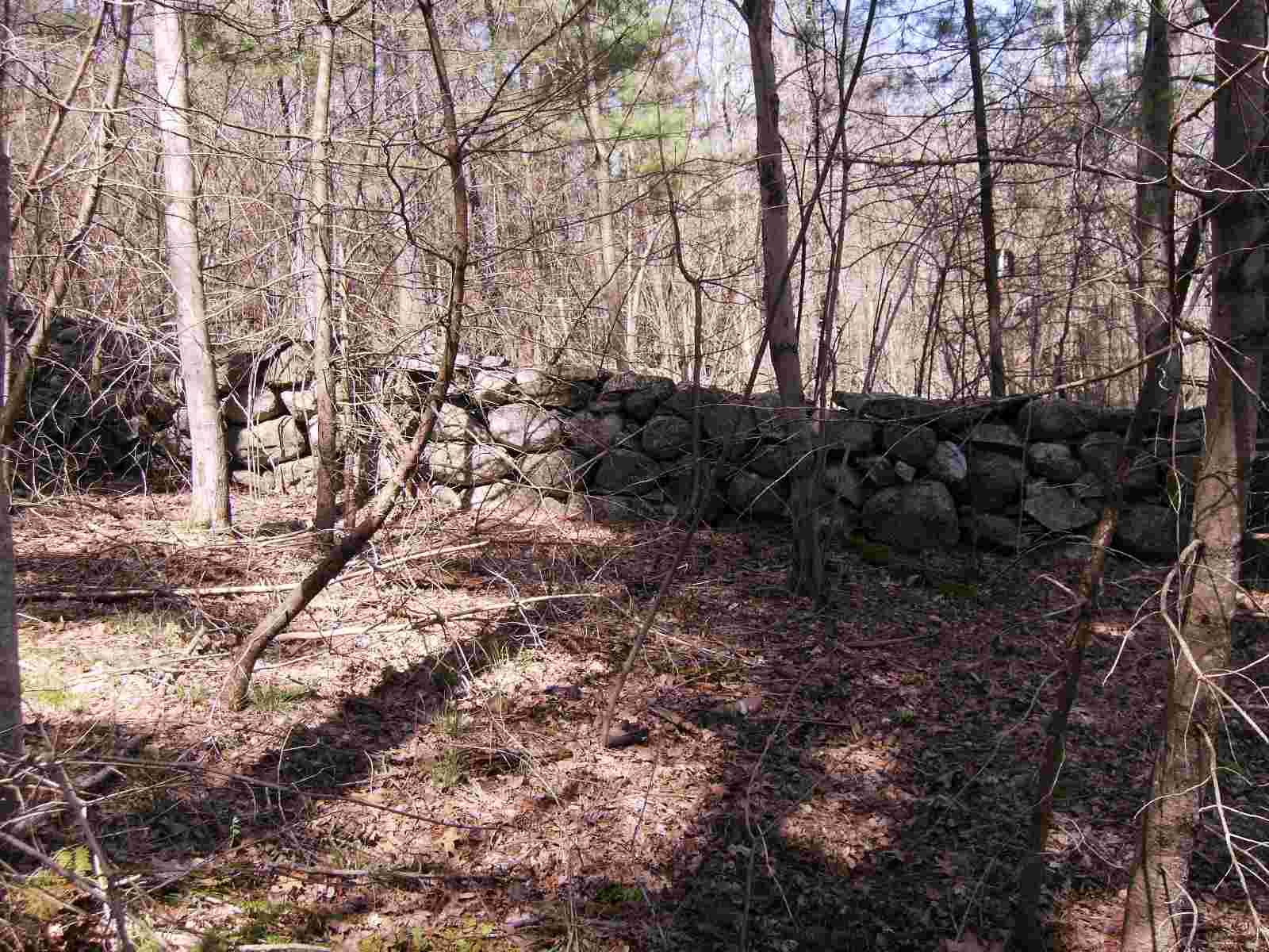
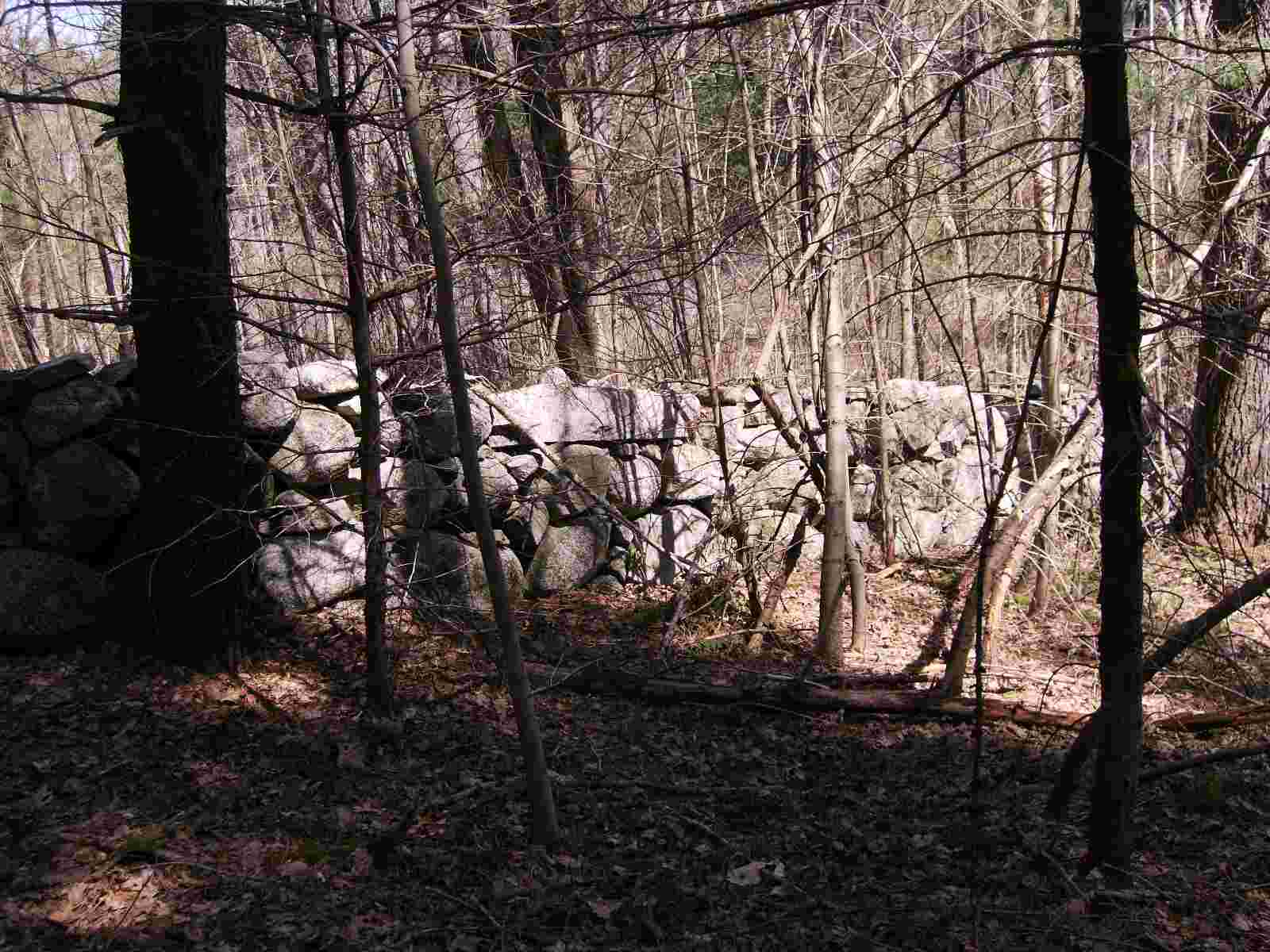
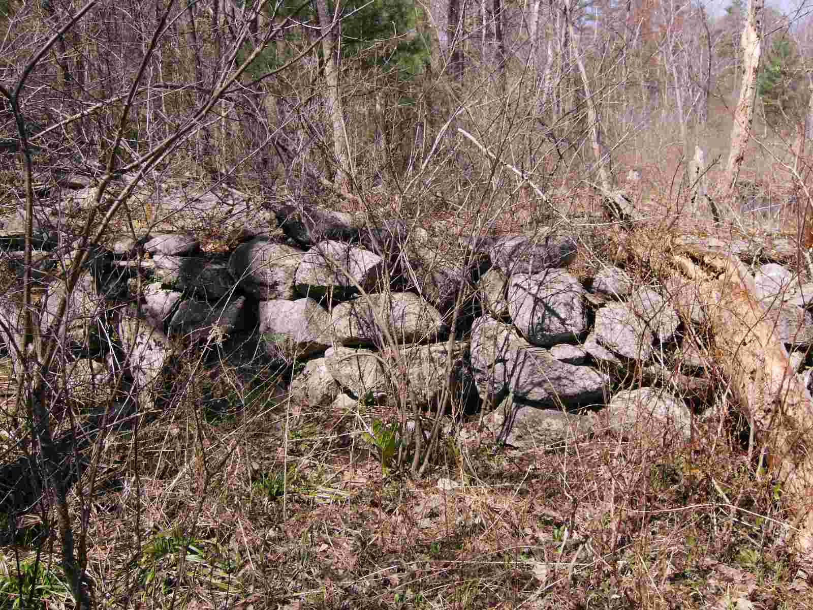
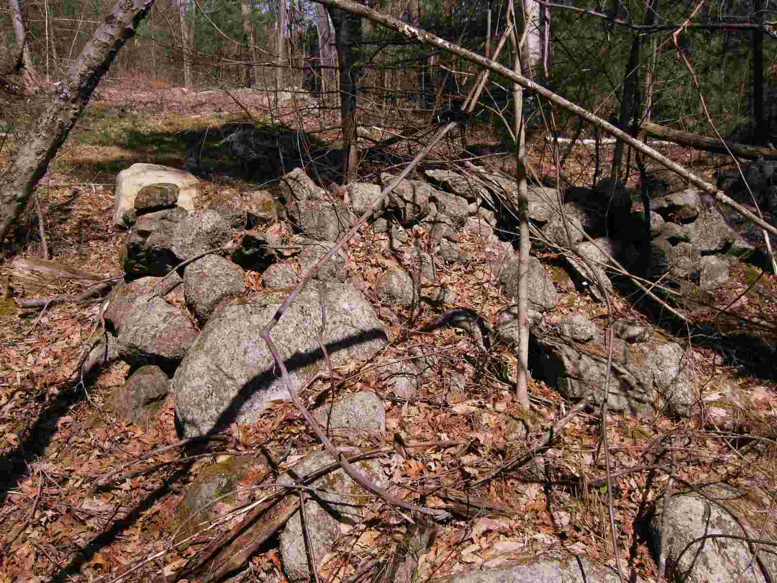
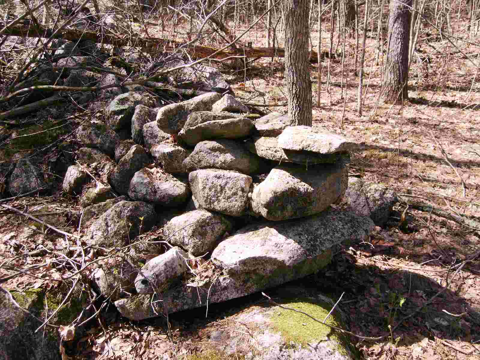
These are more pictures of the wall between A and B. It can be seen that the wall is well constructed.
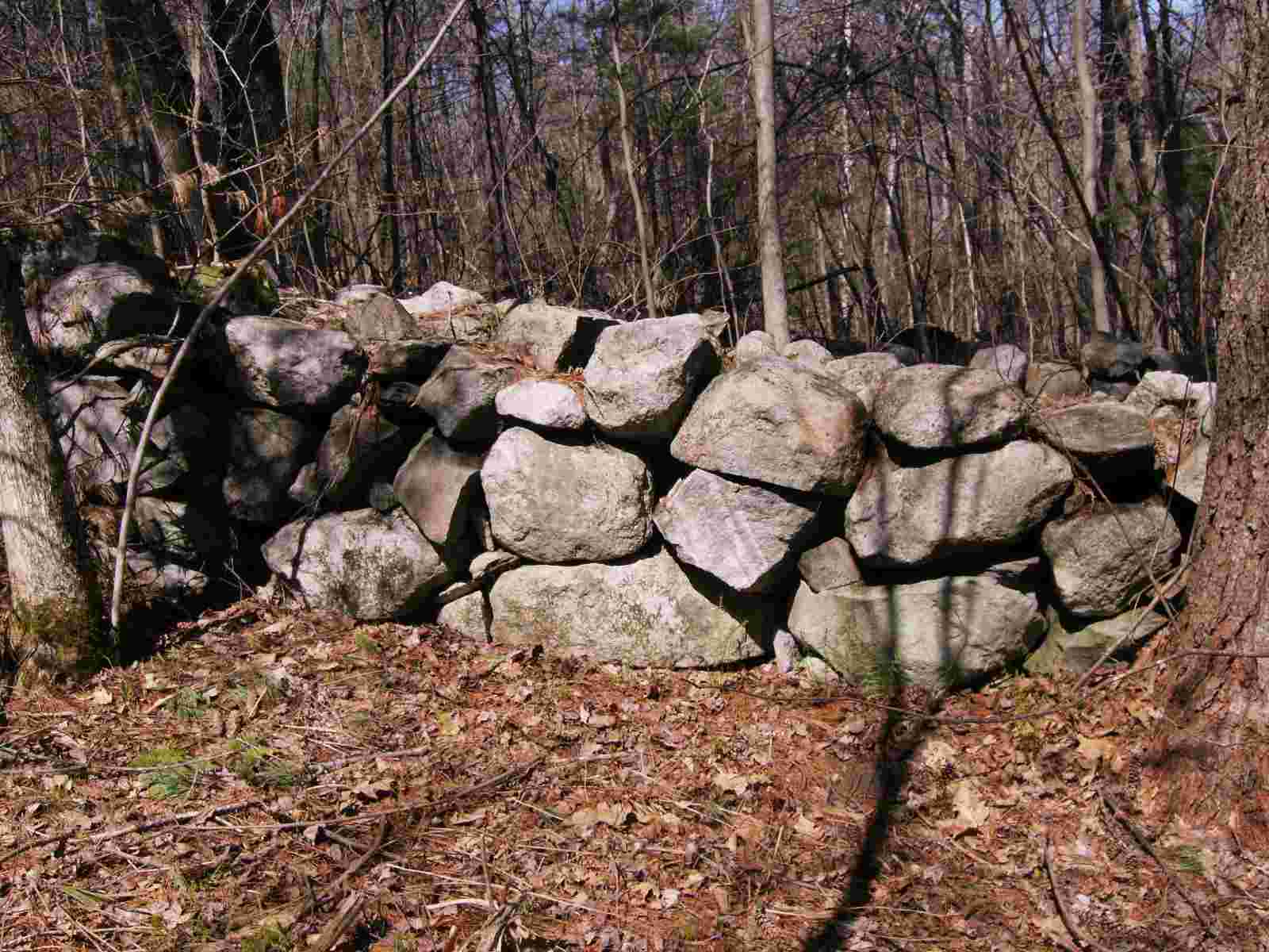
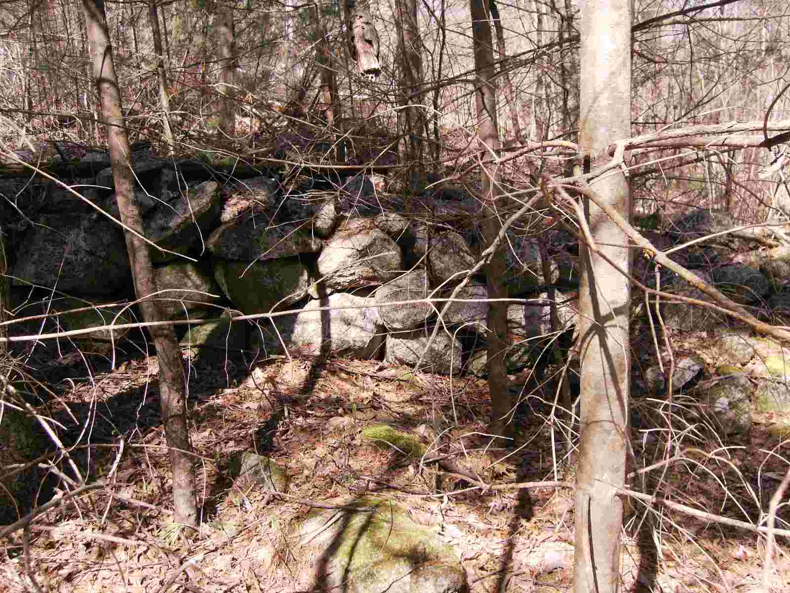
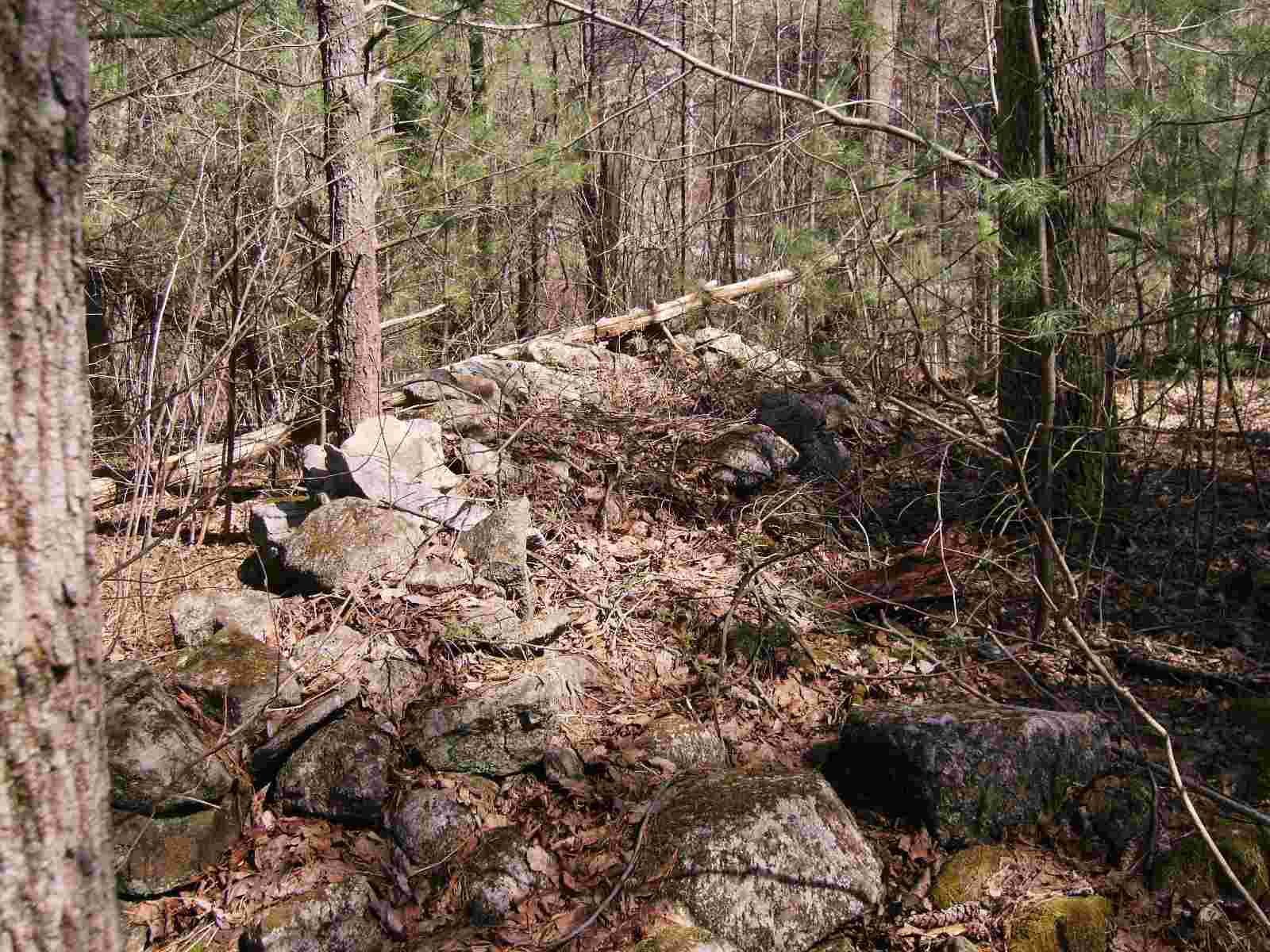
These are pictures of the wall between points B and C.
This is point C, which is marked by a boulder. As the wall approaches the boulder, it is pointing due north.
This photo was taken a few feet away from the previous photo. In the background, the wall leading to point D can be seen.
The next two photos were taken from the top of the boulder. This was taken looking due west. The wall extends for ten to fifteen feed, and then bends to the southwest.
This is taken from the top of the boulder. The wall is only one stone thick and points due north.
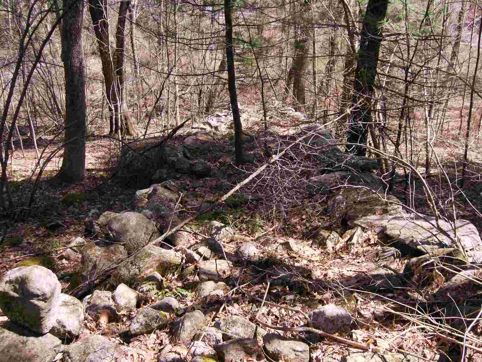
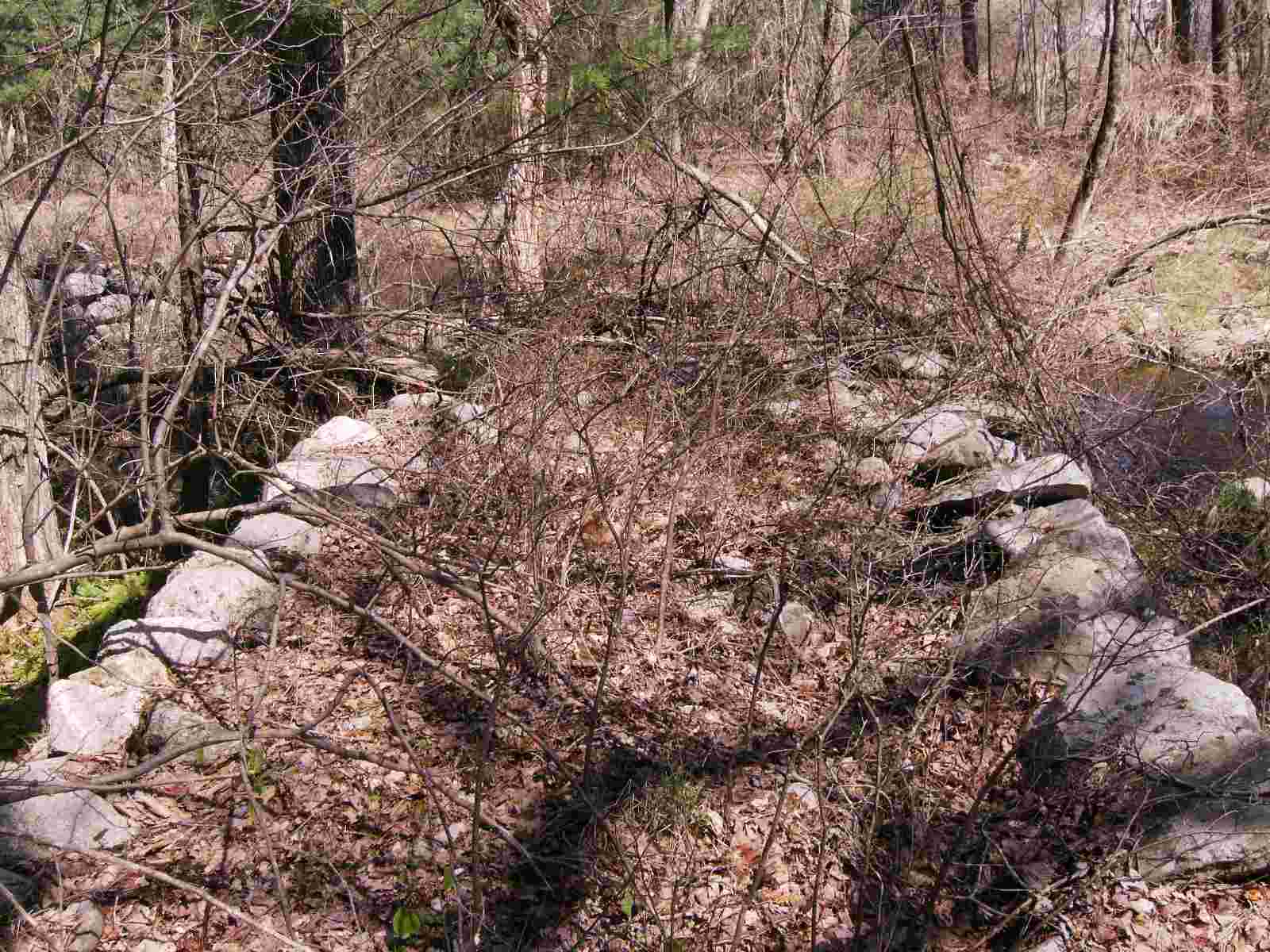
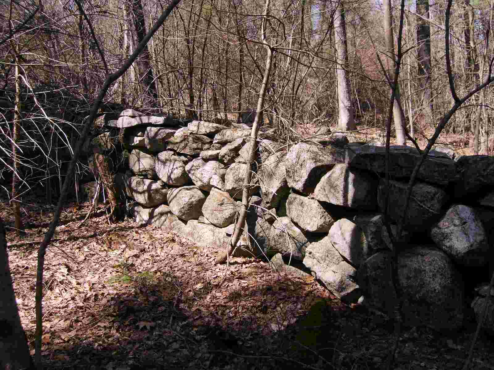
This is the wall between point C and D. It is not built as well and has suffered damage from logging.
This is point D where the wall abruptly ends.
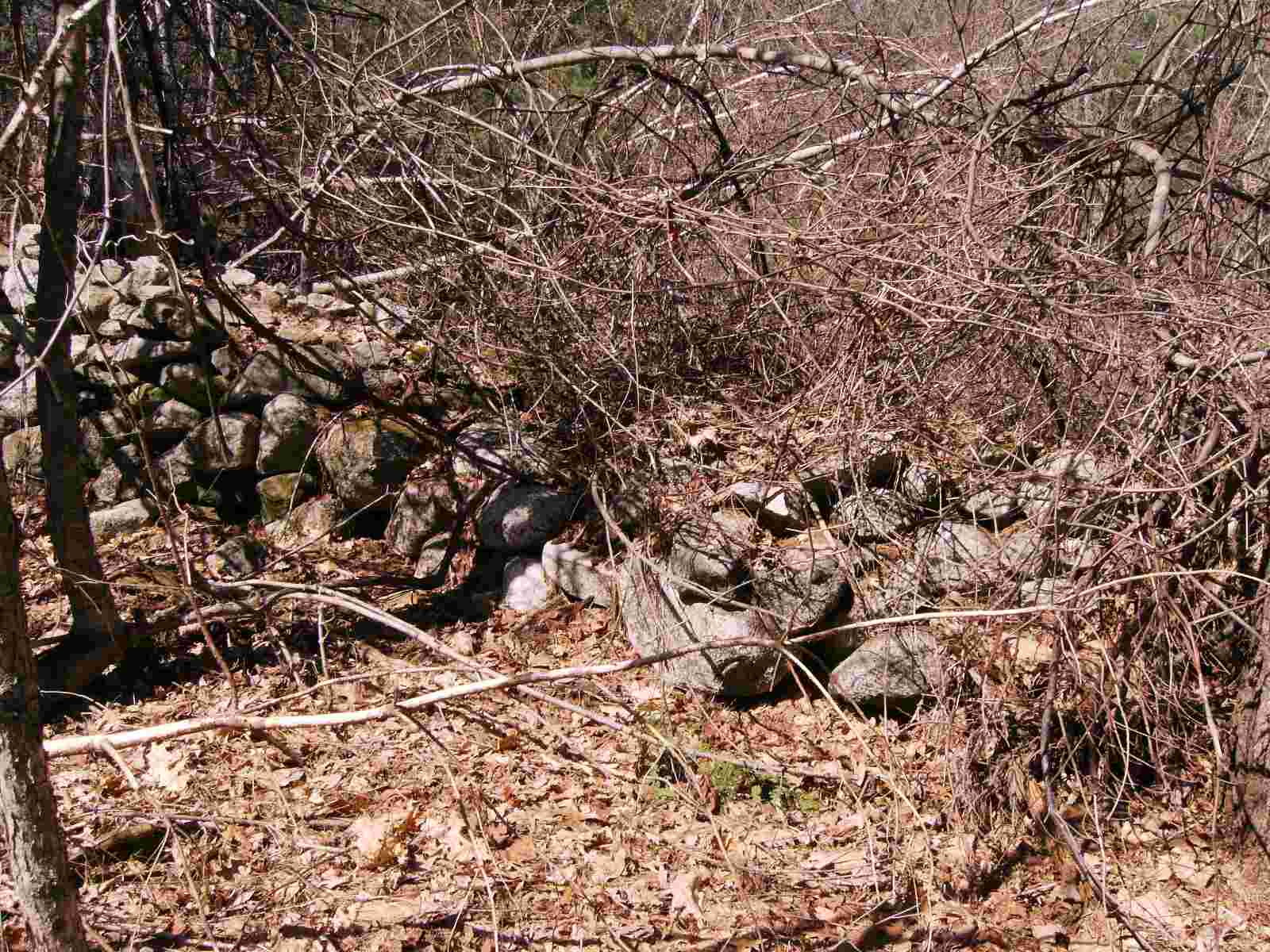
A few hundred feet, the wall begins again. It is continuing in the same direction.
After a hundred feet, or so, there is a break in the wall and a row of stones leading to the break.
A close up of the break seems to indicate that the break was not made by loggers, but is part of the original construction.
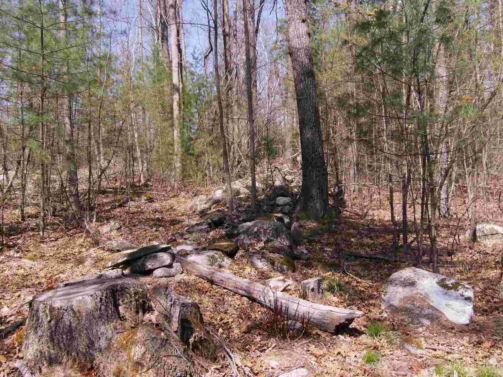
The remaining section is only about thirty feet long. It is almost like a big rock pile.
The end of the wall is within sight of point F on the map.
I find this wall very curious. Well to the north of this triangle, I have found manufactured barbed wire, and thus this area was used for livestock. But I find it hard to believe that a farmer would put so much effort into building a wall that is far removed from his barn. The presence of cairns, rock piles, and other Native American artifacts makes me suspect that this wall was built before settlement by Europeans.